Emrelia E3X
A 10.6-inch-class touchscreen EFIS experience for X-Plane 11/12 — MSFS 2020/2024 experimental — flown by touch, mouse, or real bezel hardware, with the page flows, menus, and mode logic of the real thing.
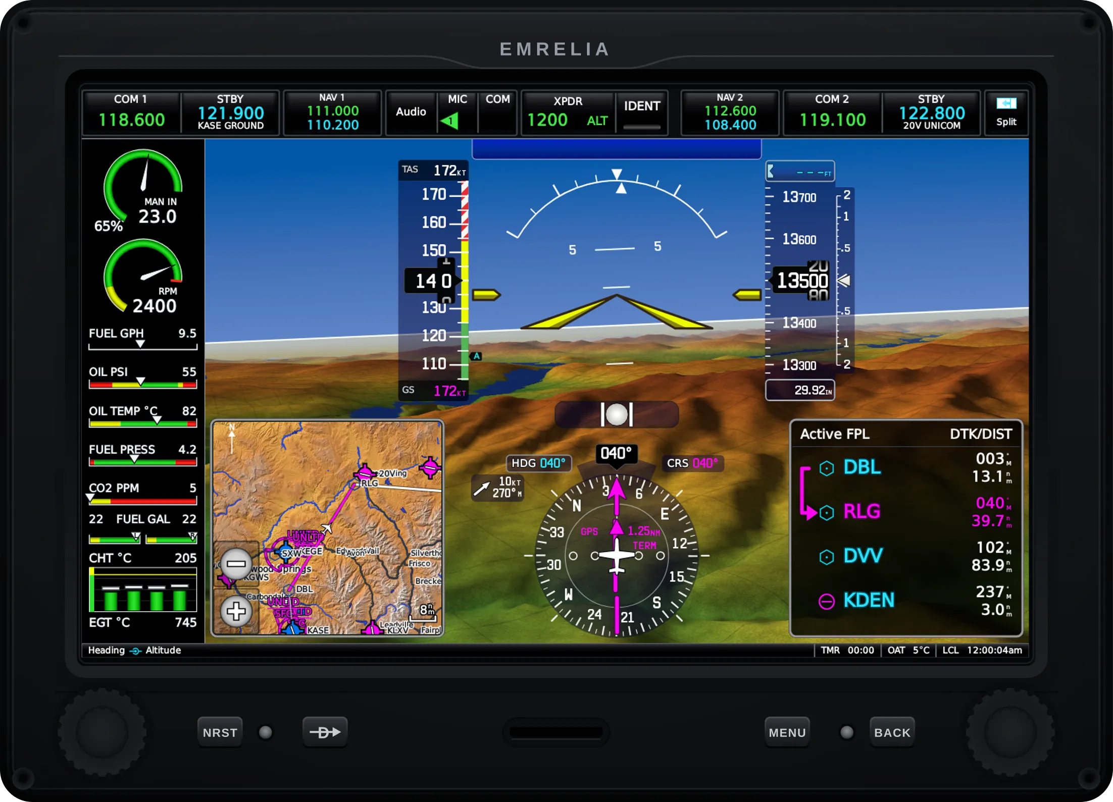
Fly the tapes, see the terrain
Airspeed and altitude tapes, attitude with flight director, VSI and vertical deviation, HSI with dual bearing pointers, baro minimums and altitude alerting — all over WebGL synthetic vision with terrain shading, pathways, and runway features. A round-gauge mode covers classic panels.
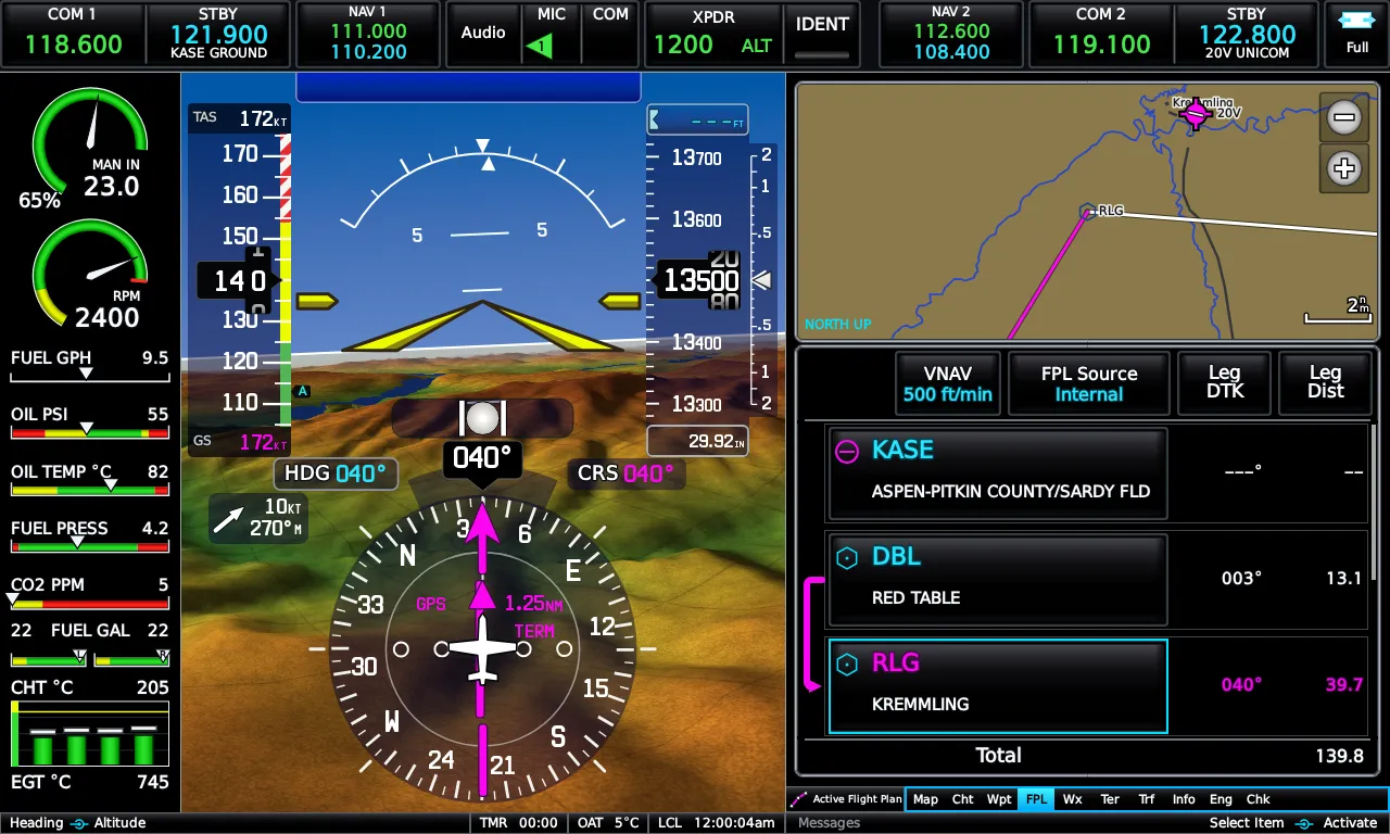
The map answers questions
Fuel-range and glide rings, airways and airspace with smart declutter, obstacles, traffic, topo and sectional and IFR basemaps, night mode, profile view, and auto-zoom that follows your phase of flight. Pan and measure with a finger.
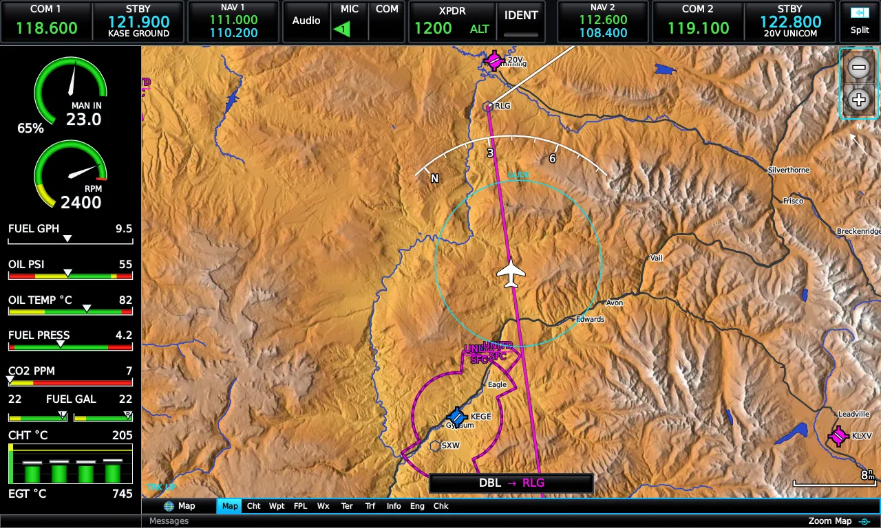
Plan, fly, descend on profile
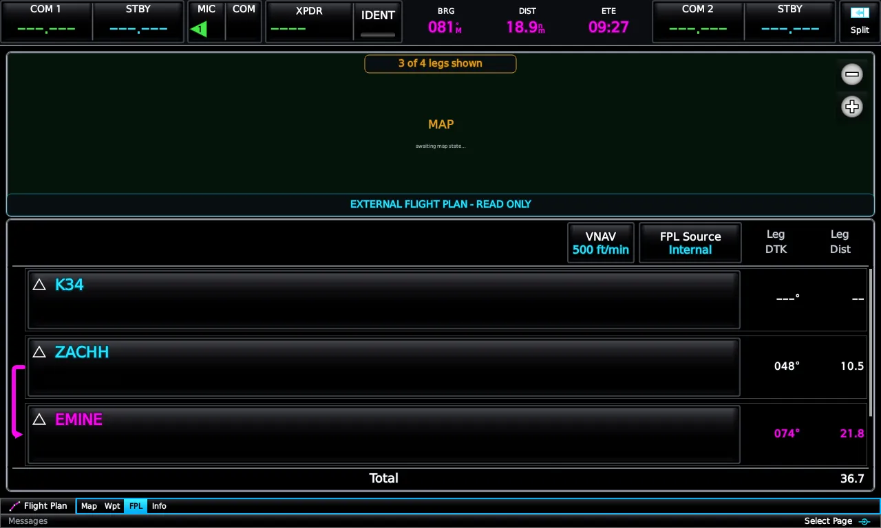
Full flight plan editing with saved plans, Direct-To, approach loading, user waypoints, and VNAV guidance. When an external navigator owns the route, the E3X mirrors it — the way the real unit does.
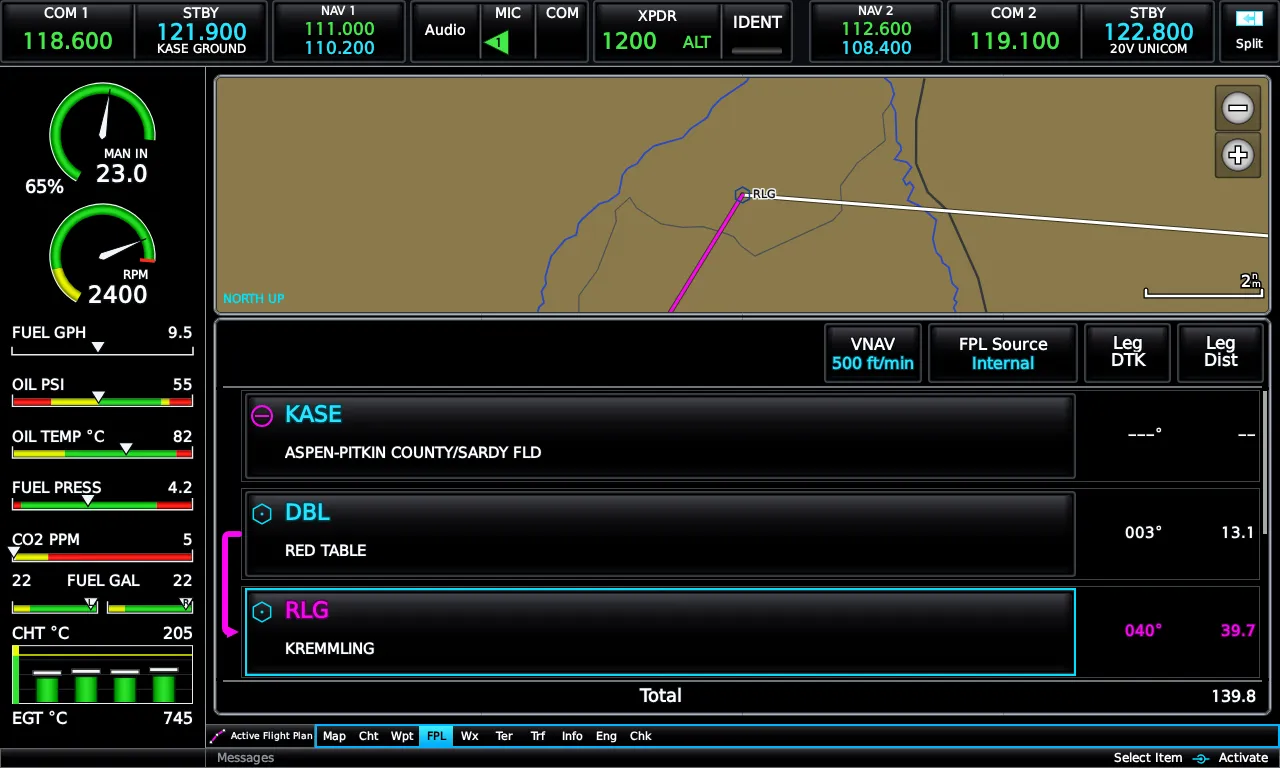
Weather, terrain, and traffic — from real-world data
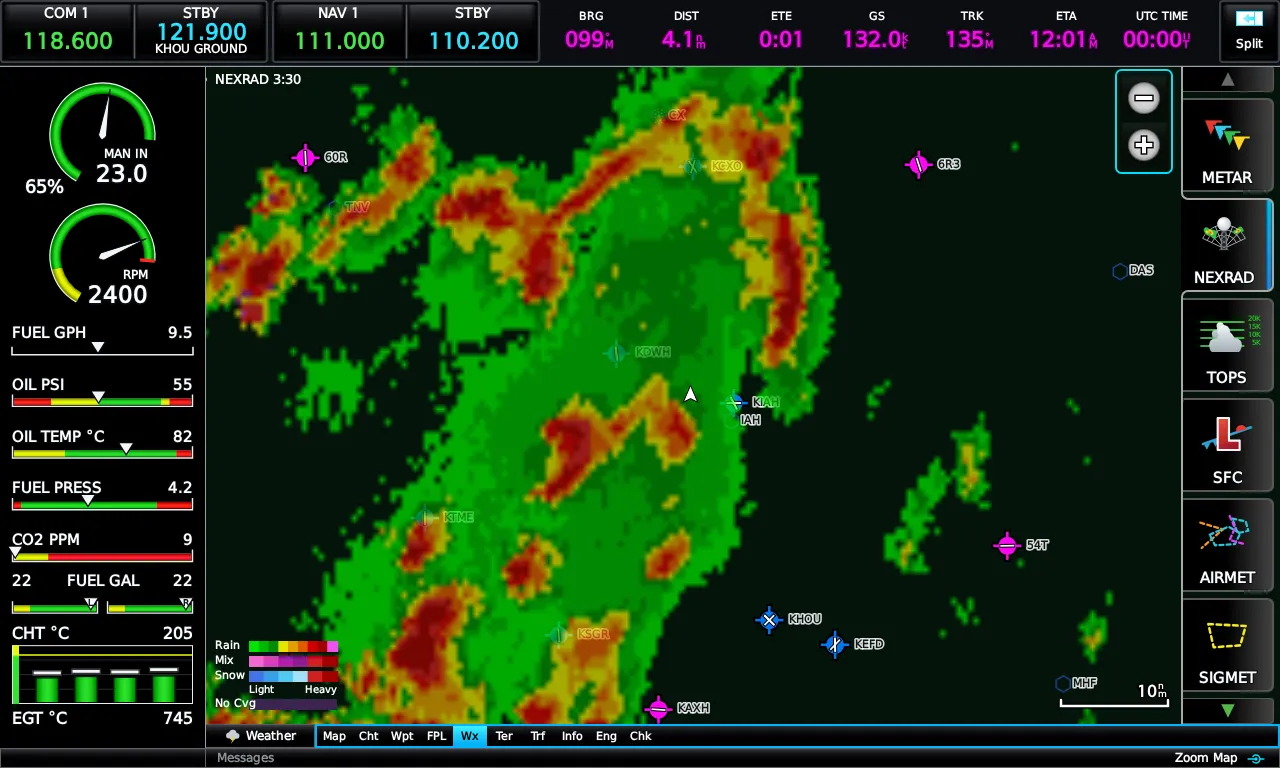
Live METARs, TAFs, SIGMETs and PIREPs, precipitation radar, and winds aloft; terrain alerting with FLTA; traffic display with alerting; airspace proximity alerts. Weather comes from real-world sources, so the picture matches the world outside your sim.
Georeferenced charts, current-cycle plates
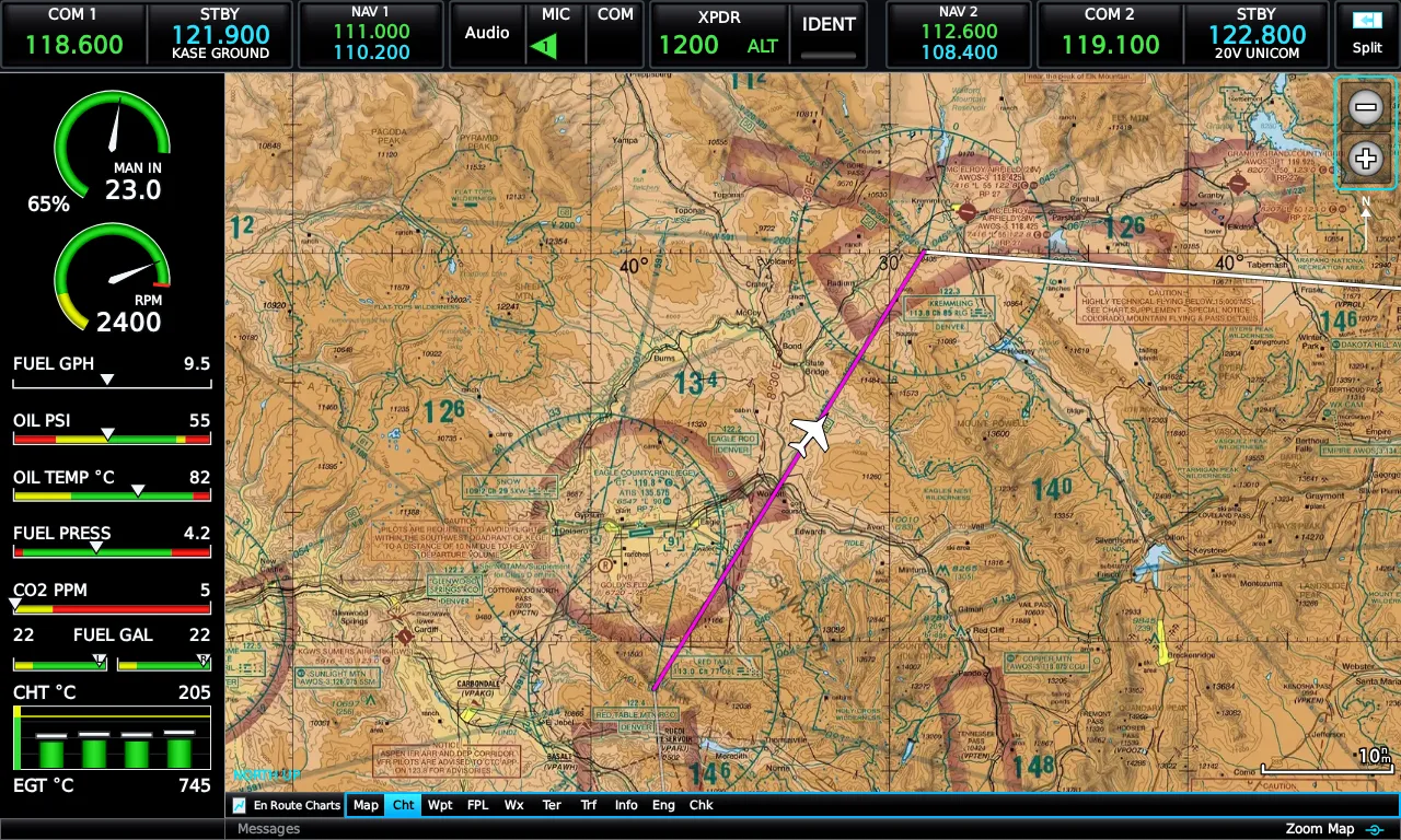
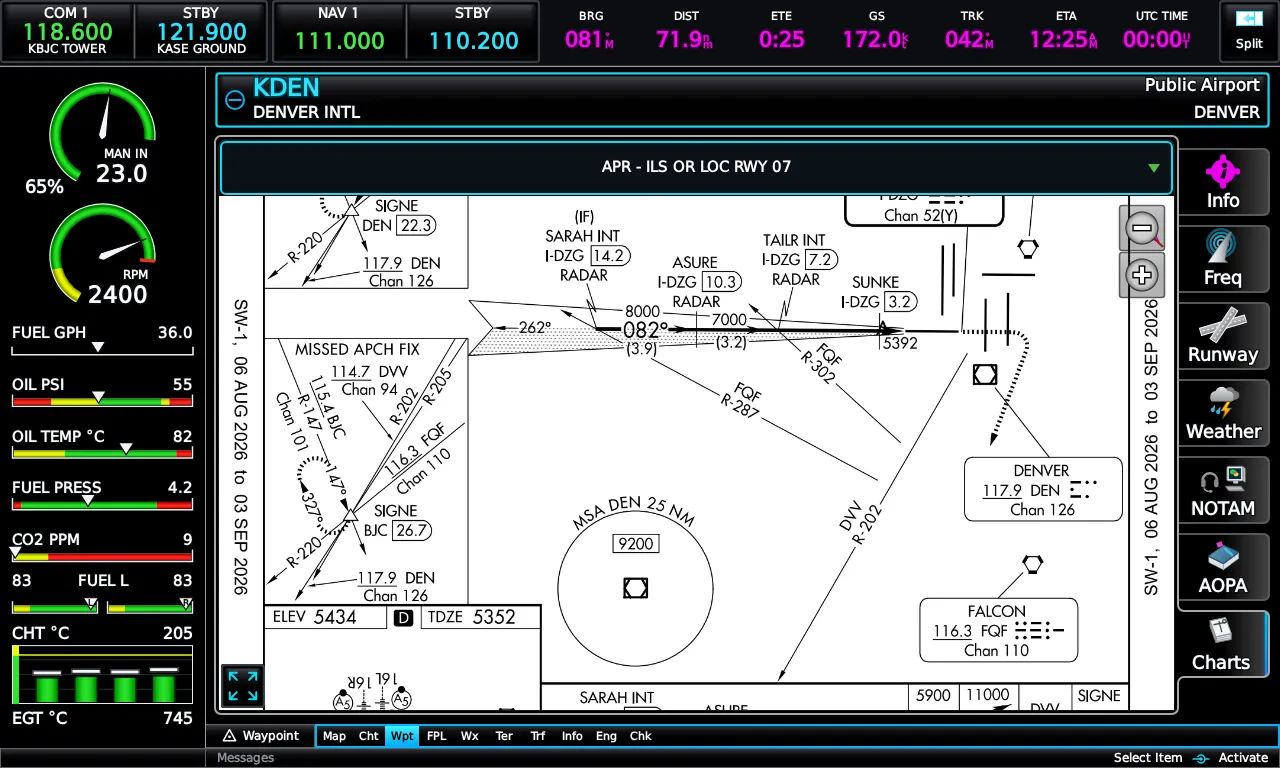
VFR sectionals and IFR enroute charts are georeferenced — your ownship, route, and traffic draw directly on the chart. Approach plates, airport diagrams, and Chart Supplement pages come from the current FAA cycle, organized by airport, one tap from the waypoint page.
An EIS tuned to your airframe
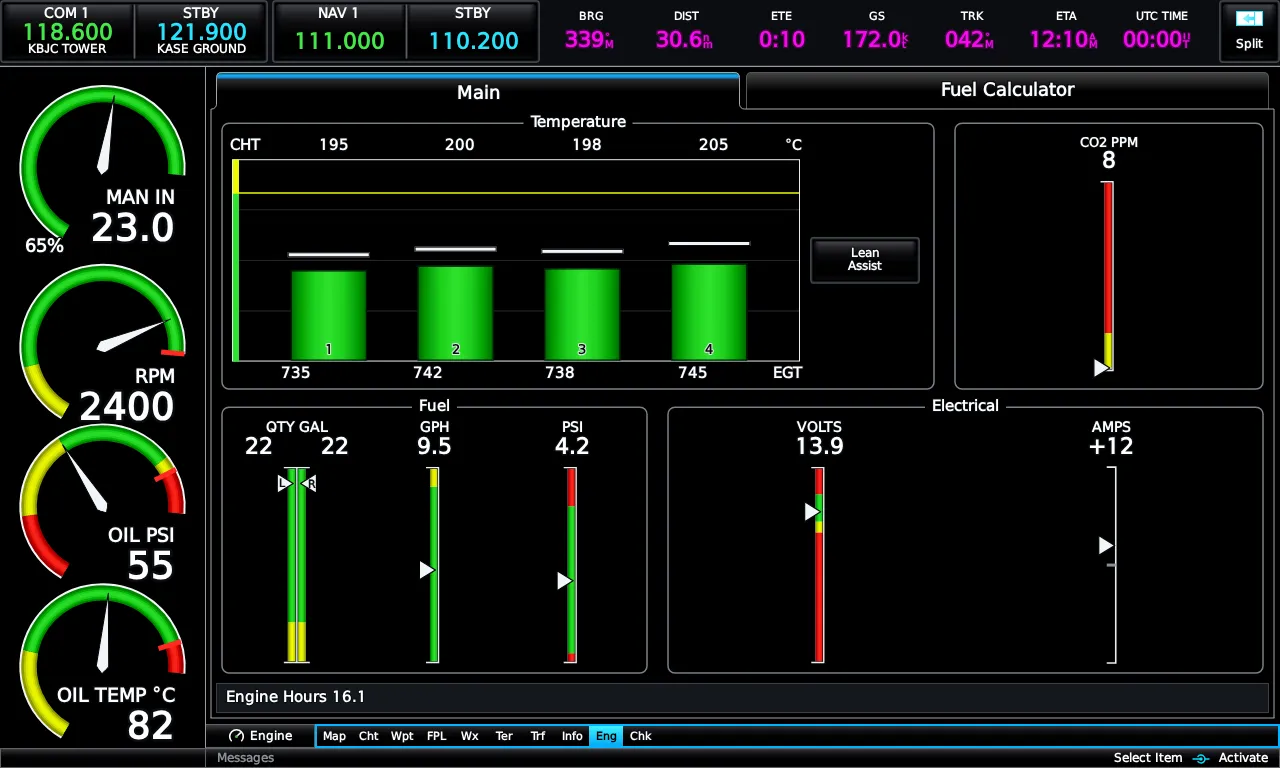
Per-aircraft gauge configurations with zones, redlines, and CAS alerting — Skyhawk, Archer, and six-cylinder Bonanza profiles included. Lean assist watches every cylinder; the fuel calculator keeps totals and range honest.
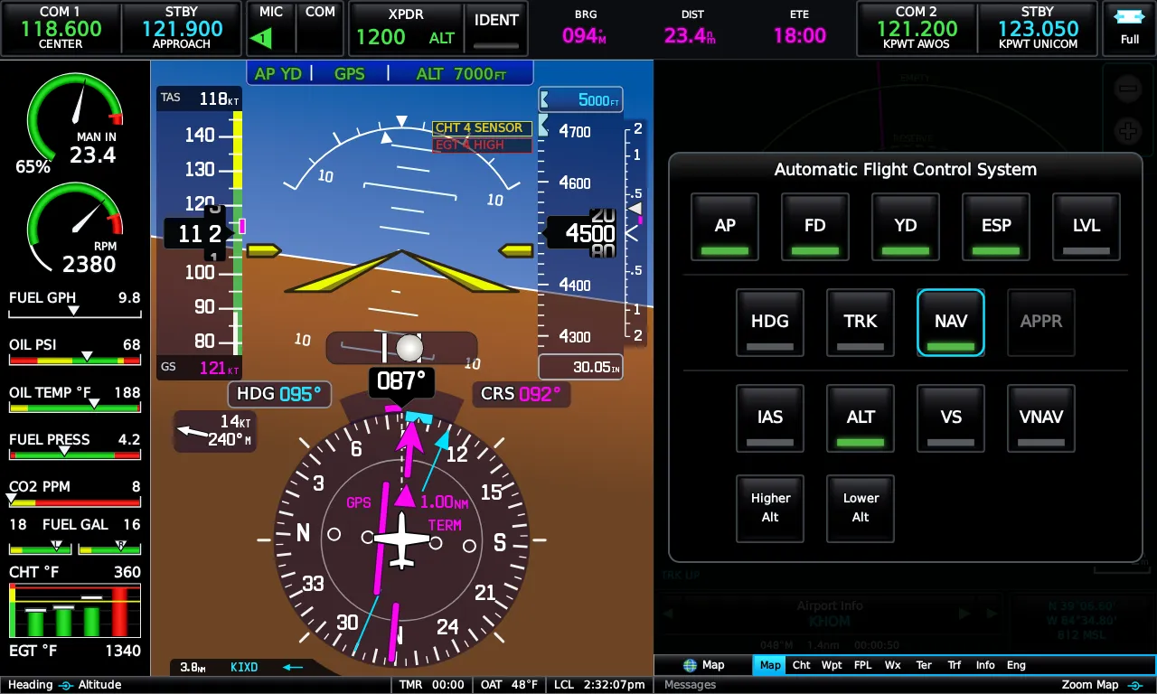
Autopilot modes that behave like the book says
The full lateral and vertical AFCS mode set — HDG, NAV, APR, ALT, VS, IAS, VNAV, GPSS, GA, LVL — with proper arm/capture behavior, mode annunciations, and flight director cues. On aircraft with a capable autopilot — a G1000 or GFC 500-class AFCS — the E3X drives the AP's own native modes directly. On legacy autopilots it falls back to driving heading and vertical speed itself, so you keep VNAV, GPSS, and glidepath guidance on autopilots without native mode support.
Twenty setup pages deep
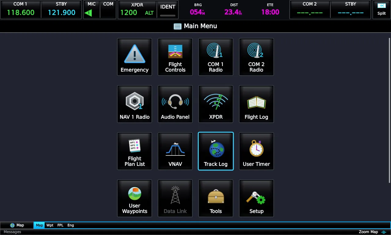
Display, sound, units, alarms, traffic, weather, position, keyboard, navigation, radios, track log, flight log, engine — the setup pages are all there, along with checklists, nearest, and waypoint information pages.
Built to sit in a panel, not own it
In a real aircraft the G3X-class display is one node in a stack of avionics. The E3X reproduces that: it defers to your IFR navigator, drives your radios, and couples to your autopilot — each integration individually configurable.
External IFR navigators
Couple the E3X to a GTN- or GNS-class navigator and it mirrors the navigator's complete flight plan — initial approach fixes, transitions, stepdowns, and the missed approach — exactly as the real unit does. The pilot loads procedures on the navigator; the E3X displays and follows the route it did not compute. Works with RealityXP GTN and X-Plane's native FMS today.
Radios, audio panel, transponder
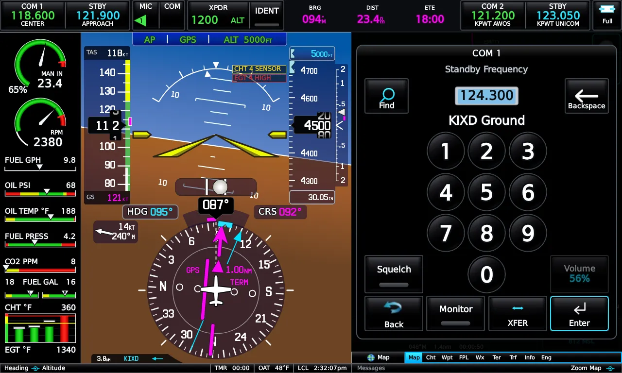
Six independent enables — COM 1/2, NAV 1/2, audio panel, transponder — mean the E3X controls exactly what your panel hands it. Disable a radio and its CNS cell, menu tile, frequency-load targets, and CDI sources all follow, just like configuring the real unit.
Autopilot coupling
Hybrid native-AP control drives your simulated aircraft's own ALT/VS/FLC/HDG modes when the AP supports them — a G1000 or GFC 500-class autopilot couples natively — and falls back to precise flight-director puppeting of heading and vertical speed on legacy autopilots, so modes only the E3X computes — VNAV, GPSS, glidepath, go-around, and level mode — work in any X-Plane aircraft with an autopilot. The experimental MSFS path uses the heading-and-VS method throughout.
In the 3D cockpit
On X-Plane 12.1 or later, an optional install component renders the E3X directly onto the panel of a generated, E3X-equipped Cessna 172 — or run it as its own window beside the sim, on any monitor, touchscreen, or panel PC.
Coming soon
The E3X is still in active development. Here's what's on the bench right now.
MSFS support
Microsoft Flight Simulator 2020 and 2024 via an in-sim companion module. The integration is built but not yet validated against the sim — experimental until it is.
Full PFD / MFD + reversionary modes
Dedicated PFD and MFD units running side by side — with reversionary modes that bring everything to one display if the other goes dark, just like the real installation.
Data coverage by region
Terrain, weather, and airports are worldwide. Charts, airspace, and procedures are richest in the United States today — here's the honest breakdown.
| Capability | United States | Europe & openAIP regions | Worldwide |
|---|---|---|---|
| Terrain & synthetic vision | Included | Included | Included |
| Airports & navaids | Included | Included | Included |
| Weather (METAR/TAF, winds) | Included | Included | Included |
| Weather radar | Included | Planned | Planned |
| VFR & IFR charts | Included | Planned | Planned |
| Airspace & obstacles | Included | Planned | Planned |
| Approach plates & taxi diagrams | Included | Planned | Planned |
| Airways & procedures | Included | Navigraph* | Navigraph* |
* Planned: bring your own Navigraph subscription to unlock worldwide airways and terminal procedures in-app. Navigraph data is never redistributed by Emrelia.
System requirements
| Simulators | X-Plane 11 / 12 · MSFS 2020 / 2024 experimental |
| Operating systems | Windows · Linux |
| Display | 1280×768 native (5:3), scales to any window or monitor |
| Input | Touchscreen or mouse (RealSimGear G3X Touch bezel supported) |
| Runtime | Bundled display runtime (pinned Chromium); an installed Chrome or Edge works as a fallback |
| Network | Local connection to your sim; internet for weather & data updates |
| Disk | ~600 MB install plus a regional data pack (~3.5 GB for the US); terrain detail cached on demand |
Emrelia E3X is an independent product of Emrelia LLC. It is not affiliated with, endorsed by, or sponsored by Garmin Ltd. or its affiliates. G3X Touch™ is a trademark of Garmin Ltd. For flight simulation use only — not for use in real-world navigation.
Every page, as rendered
Full gallery →Be first in the pattern
The E3X is in late development. Join the waitlist for the release announcement and launch pricing.
One email when it ships. Unsubscribe anytime.